January 9, 2014
On-site with LiDAR
2014 is here, and we hope everyone had a good break during the holidays.
Even though much of the US experienced cold, snowy weather at the end of 2013, it was predictably rainy and cool in the Pacific Northwest. The Stockpile Reports team were easily able to get out in the field assisting clients during late December.
Did you know that the Stockpile Reports measurement system works with GPS, iPhone, Walking Wheel and LiDAR data? Customers utilize various tools to measure their inventory. We empower monthly measurements via whatever collection method that our customers prefer to use. We regularly test each method to ensure that our reports are accurate.
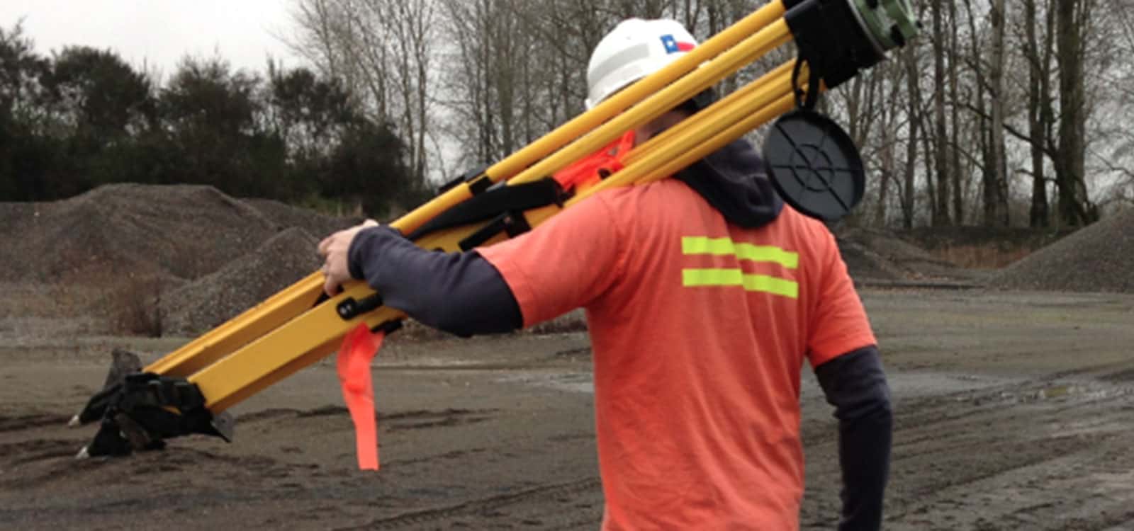
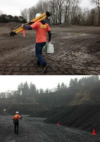
LiDAR is a laser-based method of detection, range finding and mapping. It may be used to scan buildings, rock formations, and more, to produce a 3D model. It is not known exactly where the word LiDAR comes from. According to various sources, the word is an acronym for light detection and ranging, laser interferometry detection and ranging or light/radar.
Here are images of Galen in December, checking the accuracy of LiDAR vs. the iPhone with one of our clients.
Stay In the Know
Be the first to know about the latest Stockpile Reports news and features.