September 16, 2015
A Big Year for Drones
This has been a big year for UAVs. At the start of 2015, only about a dozen companies had been granted special exemptions by the FAA to fly drones, and most of those were for filming on a closed set.
Now there are well over 1000 commercial exemptions to fly drones, for varying businesses such as agriculture, construction, security services, mining, oil and gas, utilities, emergency and disaster responses, and more.
In fact, in early August of 2015 Forbes reported that the FAA was approving applications at a rate of 50 per week.
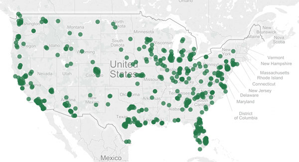
Commercial Drone Exemptions Map, from the Center of the Study of the Drone.
Here is an excellent series of maps illustrating the geographic spread of the industry. As you can see, drone usage and interest from businesses is widespread throughout the US.
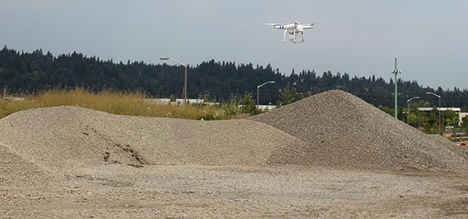
As a further illustration of industry interest, Stockpile Reports has begun meeting with new Drone/UAV Managers. They work in several companies that use our iPhone as a stockpile inventory management tool. Our top aggregate, mining and construction customers are very excited by drone surveying technology. They are interested in how data from drones can be integrated into a safe and automated workflow for stockpile measurements.
These companies ask us a lot of questions.
The UAV is not a new a surveying tool for our team. We’ve worked with various drone models throughout the world, in many environments and business applications since 2013. Our clients have measured stockpiles of varying material ranging from coal to gravel via UAV. These sites around the world continue to have a range of challenges that include wind, water, are extremely busy, are highly regulated, encompass large areas, have visibility issues, etc.
In addition to our senior support team, we also have a Senior Engineer who used to work for Boeing Aerospace R&D on staff. He is also a pilot, and continues to test and research UAVs and works with aerial data and imagery.
Stockpile Reports is best known for our patented platform utilizing iPhone imagery for stockpile measurements. The platform is also available for imagery collected from drones for subscribers. This truly gives your business the best of ground and air for stockpile measurements.
We believe accurate monthly inventory measurements are derived from a combination of tools. Using a drone alone doesn’t work for every business need or measurement scenario, nor does the iPhone, nor aerial flight measurements. Do you have a drone strategy and want site measurements, or are curious about utilizing a UAV? Contact Us.
Stay In the Know
Be the first to know about the latest Stockpile Reports news and features.