August 12, 2015
BYOD: Bring Your Own Drone
The Past
The technology might seem new, but the concept is not. The earliest recorded use of an unmanned aerial vehicle (UAV) for warfighting occurred on August 22, 1849, when the Austrians attacked the Italian city of Venice with unmanned balloons loaded with explosives.
Later on, balloons were flown in the U.S. Civil War in 1862, with both Confederate and Union forces using them for reconnaissance and bombing sorties.
Although balloons do not generally meet today’s definition of a UAV, the concept was strong enough that once winged aircraft had been invented, the effort to fly them unmanned for military purposes came quickly. The first pilotless aircraft were built during and shortly after World War I.
The Present
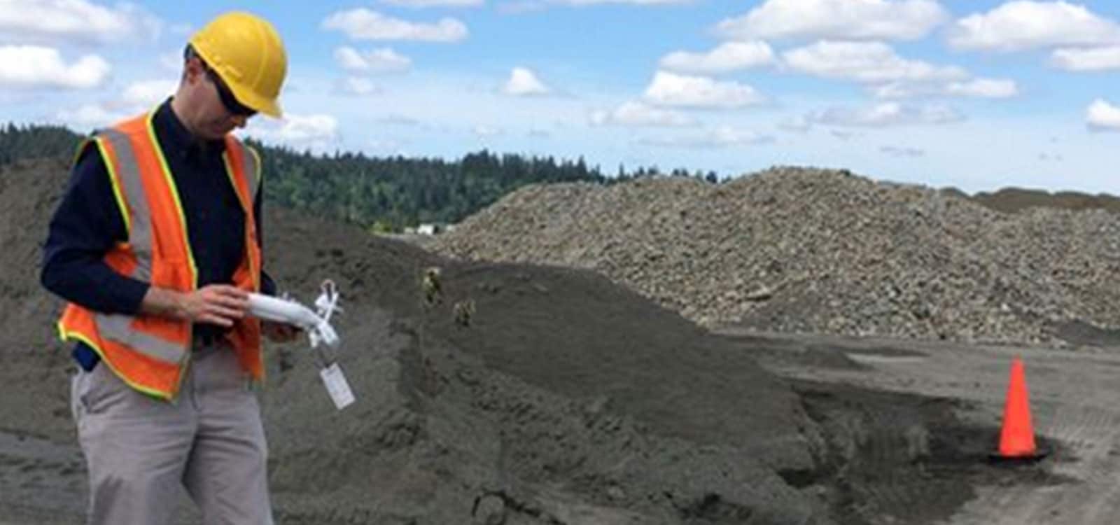
Did you know that you can process drone imagery using our company?
Our team has been working closely with drones and remotely piloted vehicles for nearly a decade. We have seen the ease of use and capabilities increase – while the size and price has dropped dramatically over the past 10 years.
Stockpile Reports has been supporting Australian clients by providing stockpile reporting from drone/UAV flights in Australia for nearly 2 years. Our clients’ quarry sites are busy, and spread out geographically across the country. This limits the amount of stockpiles and locations that can be surveyed by more traditional methods in limited time periods. Clients use our iPhone Application for spot-measuring stockpiles, but is often impractical and sometimes dangerous to walk around a large site for monthly or quarterly stockpile measurements.
Many of our clients utilize planes for aerial stockpile measurements. However, factors including lower costs, longer-lasting and lighter-weight batteries, powerful processing, more accurate GPS, and updated FAA regulations, are increasing the desire for drone surveys from our American customers. They are buying many models, including the eBee, the Aibotix, DJI Phantom, and 3D Robotics IRIS.
Fly Your Drone
Stockpile Reports works closely with our customers, ensuring that the data gained from drones captures optimal imagery, generating excellent results. We are experienced at piloting and operating various models and are available for consultations. This includes helping you with flight patterns and camera angles.
After your flight, simply upload the data captured by your camera into our system for processing via computer.
Clients receive the fastest results in the industry — online access to site and stockpile reports from drone flights typically are available within hours after the data upload. You can easily download, view and share the resulting stockpile volumes of your site online!
StockpileReports.com is the only solution to enable enterprise inventory measurements of thousands of geographically disparate stockpiles in hours. Our support for phones, drones, and planes provides your company the ability to develop a Stockpile Measurement Strategy to meet your business goals.
Drones will play an important role in your strategy for providing rapid turn production and inventory measurements. Contact us for more information—we’d be delighted to tell you more about recent site and stockpile measurements using UAVs.
Stay In the Know
Be the first to know about the latest Stockpile Reports news and features.