February 26, 2015
Measuring Stockpiles From The Sky
Stockpile Reports is proud to offer aerial measurements to our clients, augmenting our ground-based stockpile measurement and inventory management solution.
The Best of Ground and Air
Aerial photography is the perfect solution for measuring stockpiles in dangerous or difficult to access areas such as mines, quarries, landfills and infrastructure project works. It is especially useful for monthly stockpile inventory measurements, especially in large quarries when it is more efficient to quickly measure from the air, with zero man-time needed on the ground.
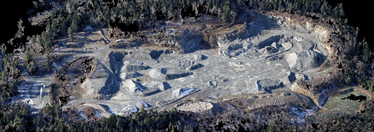
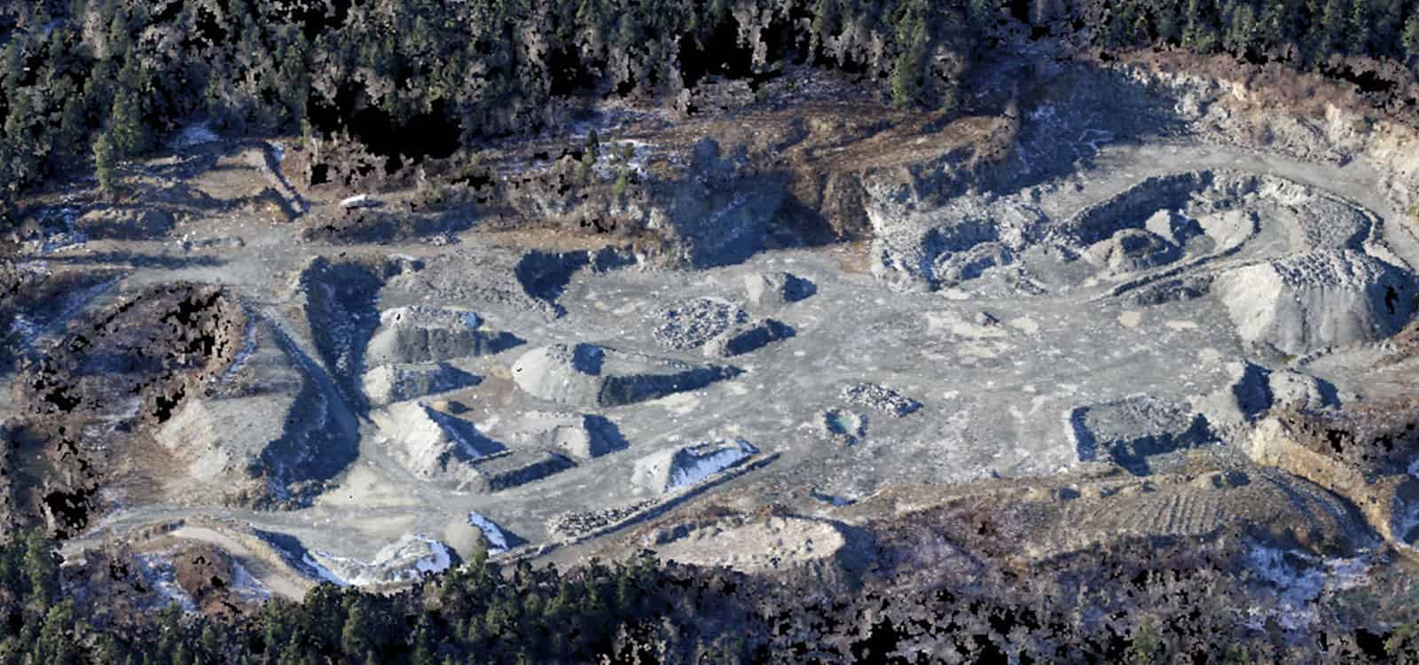
Dense point cloud result from a recent aerial measurement.
Our clients receive the fastest results in the industry!
Subscribers get online access to site and stockpile reports, which are typically available within hours after the flight. There is no action needed from clients other than tagging the outlined stockpiles with materials after the flight.
Exclusive benefits for subscribers:
- Orthographic imagery included
- Turnkey solution — no action needed from you other than outlining mapped stockpiles
- Online access lets you eliminate the need to mail photographs or manually edit in Excel
- Easily download, view and share results with you or your team online
- Download, save and review archived reports
Customers have the opportunity to get 12 monthly measurements for the typical price of only one fly-over by other services. This enables your team to review how a site changes over time, and make future planning easier. Simply review current aerials and compare those to archived results from previous months!
We have a great team of trained and certified aerial photographers, who are located throughout the US. Each one is very knowledgable about how to capture optimal images for accurate results, have appropriate equipment, and are extremely responsive to client requests.
One of our clients recently said, “I want to thank the team for all the effort to get the flight scheduled and make the data available on such short notice. We didn’t have a confirmed time until Monday and we were able to get the flight scheduled for Tuesday and have the data available by Wednesday morning. The effort to make this happen is greatly appreciated. Thank you again.”
Aerial stockpile measurements are included in a Stockpile Reports subscription with a nominal fee for flights. For information about our subscription-based service please navigate here or call direct at 425-285-4303.
Stay In the Know
Be the first to know about the latest Stockpile Reports news and features.