July 4, 2019
3 Reasons DOTs Should Measure Stockpile Inventory with an iPhone
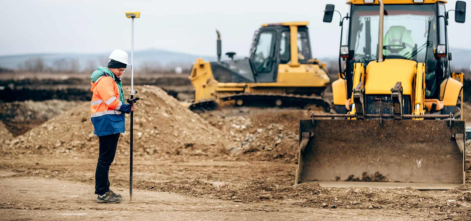
Statewide Departments of Transportation have a unique challenge when it comes to measuring stockpiles.
Unlike an aggregates or ready mix producer who have all of their stockpiles in a few locations, DOTs have hundreds of stockpiles scattered around thousands of miles of highway. On top of the geographic challenge, the stockpiles are often located close to busy highways where car and truck traffic pose extra safety risks to surveyors.
Despite the unique challenges, transportation departments are required to keep an accurate and up to date inventory of their stockpile inventory. Fortunately, advancing technology plays a large role in aiding states goverments with tracking stockpile inventory. The most popular tool for measuring stockpile inventory in the past couple years has been the drone. However, We have three compelling reasons why an iPhone is the best choice for measuring DOT stockpiles.
Reason #1: Easy to Deploy
One of the biggest advantages to using an iPhone as a stockpile measurement tool is the fact that you most likely already have one at each site. Your IT department will have no issues buying and deploying an iPhone in the occasion that you don’t already have one available.
Unlike drones, most people already know how to operate an iPhone. The learning curve for getting trained is minimal. More importantly, your employees will not have to get certified by the FAA to fly the drone.
READ: Why Companies Need to Part 107 Certify Their Drone Pilots
The need to have your pilots FAA certified means that you will have a limited number of employees who can fly a drone to measure stockpiles. This can be highly burdensome when a crew of pilots has to drive hundreds of miles between stockpile yards. This problem is easily solved by deploying an iPhone to each site where employees are already stationed.
Reason #2: You Can Measure Anywhere
An overlooked fact when building an enterprise drone program is that there are many places a drone can’t be legally flown. For example, you can’t fly a drone within 5 miles of a towered airport without permission from air traffic authorities. Also, a drone can’t be flown over moving vehicles. This could cause issues for DOTs measuring stockpiles on the side of a busy highway. Measuring stockpiles with an iPhone skips the hassle of determining where you can and can’t fly the drone. Regardless of your location, you are safe to measure with an iPhone.
READ: No Drone, No Problem with Stockpile Reports
iPhones also can measure stockpiles in poor weather. In fact, Stockpile Reports perfected the iPhone measurement system in the rainy Pacific Northwest. This may be a crucial factor in the winter time when the weather calls for rain and wind. Drones can only fly in light winds and no rain.
Reason #3: iPhones Can Measure Indoor Piles
Indoor piles have traditionally been a big issue for drone measurements. Flying indoors with drone is risky and often leads to poor outcomes. Surveyors attempting to measure indoors with traditional survey equipment also run into large headaches without the aid of GPS. Measuring stockpiles with an iPhone skips all of these issues.
The iPhone is a perfect solution for indoor stockpiles. A typical measurement with the iPhone takes 5 minutes or less. The iPhone can also measure stockpiles with walls around material which is essential for salt sheds. During the winter, DOTs using our service typically measure thier covered salt stockpiles on a weekly basis to ensure they don’t run out during a storm event. Even if you could measure covered stockpiles with a drone, getting a drone pilot out to every salt stockpile on a weekly basis would be nearly impossible.
Conclusion
Although drones are the most popular stockpile measurement tool on the market, you will need to do the math to determine if they are the best tool for your organization.
iPhones are often overlooked as an option due to the perception that they are not accurate. However, TxDOT performed a study on our iPhone measurement service and determined that we were +/- 2% of a lidar scan measurement.
Based on the three critical reason described above, we believe the iPhone is the best tool for any statewide Department of Transportation.
Stay In the Know
Be the first to know about the latest Stockpile Reports news and features.