June 5, 2017
13 Drone Mistakes You Can’t Afford to Make
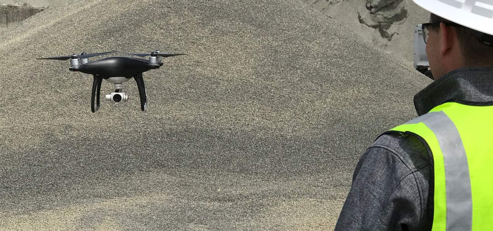
Drones are a critical piece of the StockPileReports.com platform. While they have incredible technology, they are only as good as the pilots who fly them.
We have worked with countless experienced drone pilots who flawlessly fly their drones. We’ve also seen – well, we’ve seen a few mistakes made by less experienced pilots. We’ve assembled a list of the top mistakes – so you don’t have to make them yourself.
- Failure to check the no-fly zone. We’ve all seen the drone pilot who can’t understand why the drone isn’t launching. The small airport less than a mile away is the reason. Pilots need to know where you can fly and where you can’t. The no-fly zone varies from airport to airport. Check the map – your drone is programmed not to fly in these areas.
- Lack of space on the drone’s memory card. In the old days, a photographer’s nightmare was shooting an event and forgetting the film. Today it’s the memory card. Depending on your drone, 2 minutes of flying will eat up to 1 gig of memory. No one wants to fly a site only to find no images have been captured due to space.
- Failure to point the remote directly at the drone. This one is super common. As the drones gets a bit farther from the pilot, some pilots forget to keep the remote focused on it. The drone is communicating with the app or program via the remote, making adjustments constantly. If you break that communication, you might be missing images the drone is being tasked with taking because it can’t see the remote.
- Not charging the drone batteries. Enough said.
- Not calibrating your drone at a drone at new location. When you take your drone to a new spot, your drone has to adjust to a different magnetic footprint. That’s why it has many sensors, including a compass. If take your west coast drone to east coast without calibrating, it might drift off course or deviate from your planned flight plan.
- Failing to update firmware. Just like you need to keep the latest updates on your cellphone, your drone and remote have updates that need to be run for optimal performance. Don’t skip this step.
- Ignoring weather conditions. Again, this is pretty basic. Is it about to rain? Drones are not waterproof and a sudden rain shower can be devastating. Wind is also a factor. While some drones can handle up to 35 mph gusts, flying in severe winds is less than ideal. Your battery will drain a lot quicker too. Know your drone’s limitations.
- Poor site assessment. Before you fly a site, walk or drive around it, and select a takeoff and landing site. Oh, that site over there looks great? Right where trucks drive by? There is nothing like landing your drone only to see a 25,000 pound dump truck drive over it..
- Mapping too small an area. If you’re trying to map and measure a site, you need to have enough photos and enough lines of overlap to build an accurate 3D model. We suggest at least 50 images at a minimum, with at least 4 lines of overlap and 15 acres. The more data, the better the mapping.
- Choosing area from an outdated map. When selecting your site for mapping, make sure you’re looking at the newest map. Whether using Google Earth or a proprietary map, make sure you’re capturing the entire site. We’ve seen large portions of a site completely missed because an old map didn’t show a site’s expansion into new areas. This means you’ll have to go back and measure it again.
- Failing to correct camera settings for the lighting. Pilots are not just flying drones – they are also photographers. You need to adjust settings to reflect current conditions. If it’s very sunny, the white balance will have to be adjust or you’ll get overexposed images that aren’t helpful.
- Flying too fast when it’s darker. As with any camera, a drone’s camera has to open the shutter long enough to get get sufficient light for a picture. In bright light, this is an instant. In low light, the shutter stays open longer so small movements of the drone result in blurred images. If it’s cloudy or darker, pilots need to slow down the drone.
- Ensure you have enough photo overlap. The drone is taking multiple images to put together a 3D model of the topography of the site. This requires images to overlap so they can be stitched together. How much overlap is necessary? As a guideline, we suggest 75% frontlap and 70% sidelap. You may need to up your overlap in certain situations.
What’s the best way to make sure that you won’t make these mistakes? Have a checklist for flying, and refer to it every single time. We’re all about efficiency at StockPileReports.com. So what is the absolute best way to make sure that your drone flights are flawless? Let us handle them. Give us a call and leave the drone flying to our experienced team.
Stay In the Know
Be the first to know about the latest Stockpile Reports news and features.